https://thermastor.com/dew-point-and-weather-maps/
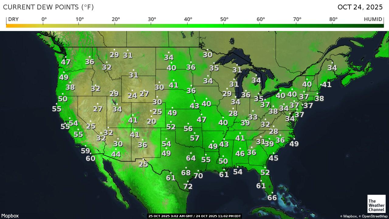
++++++++++++
Get all the comprehensive weather here:
Weather-UPDATED LINKS
https://www.marketforum.com/forum/topic/83844/
Current Hazards at the link below.
For your NWS and county, go to the link below.
Then you can hit any spot on the map, including where you live and it will go to that NWS with all the comprehensive local weather information for that/your county.

This link below provides some great data. After going to the link, hit "Mesoanalysis" then, the center of any box for the area that you want, then go to observation on the far left, then surface observations to get constantly updated surface observations or hit another of the dozens of choices.

https://www.spc.noaa.gov/products/outlook/day1otlk.html

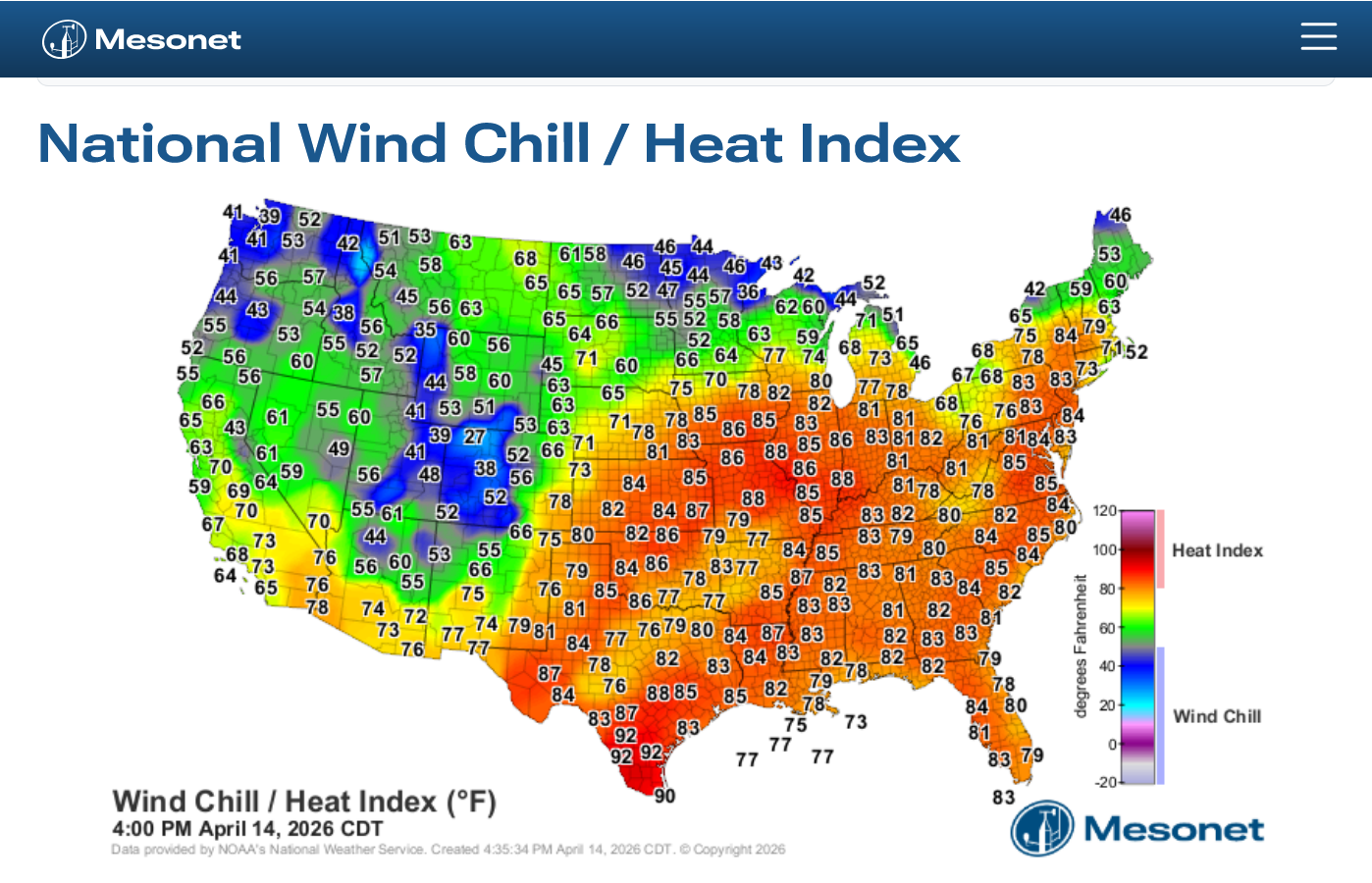
https://www.mesonet.org/weather/air-temperature/national-wind-chill-heat-index
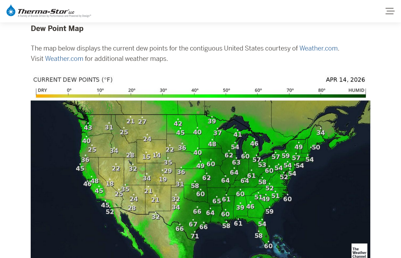
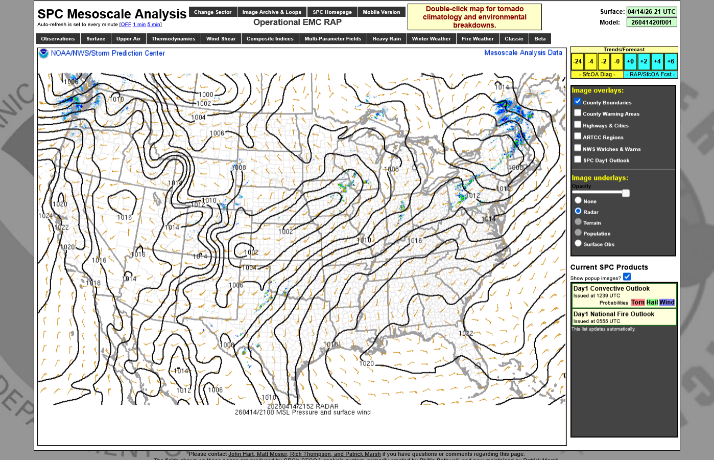
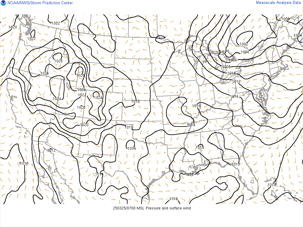
Top maps are images at 4pm. The 2nd ones are constantly updated.
https://thermastor.com/dew-point-and-weather-maps/
Current Conditions 2nd map below updated every few minutes. 1st one is just before 5pm.
https://www.spc.noaa.gov/exper/mesoanalysis/new/viewsector.php?sector=19
NWS Forecast Office Kansas City, MO

Strong to severe storms are starting to take shape across North Central Iowa and should expand east/northeast into Northeastern Iowa and South Central Wisconsin. Large hail and a few strong tornadoes will be possible with this initial activity. The highest risk for significant impacts will be across far southeastern portions of the...Read more
Click a location below for detailed forecast.


Last Map Update: Tue, Apr 14, 2026 at
NWS Forecast Office Chicago, IL

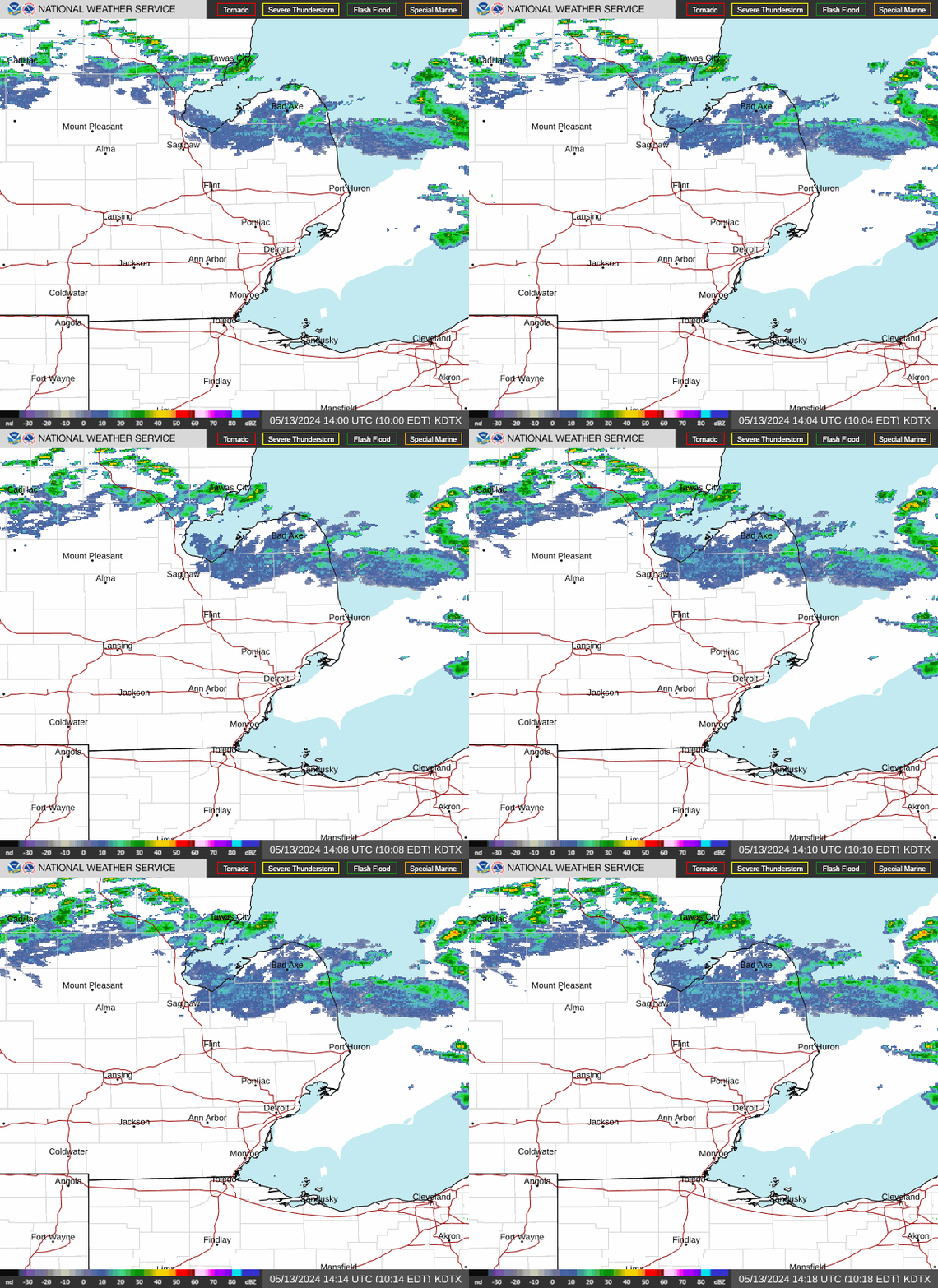

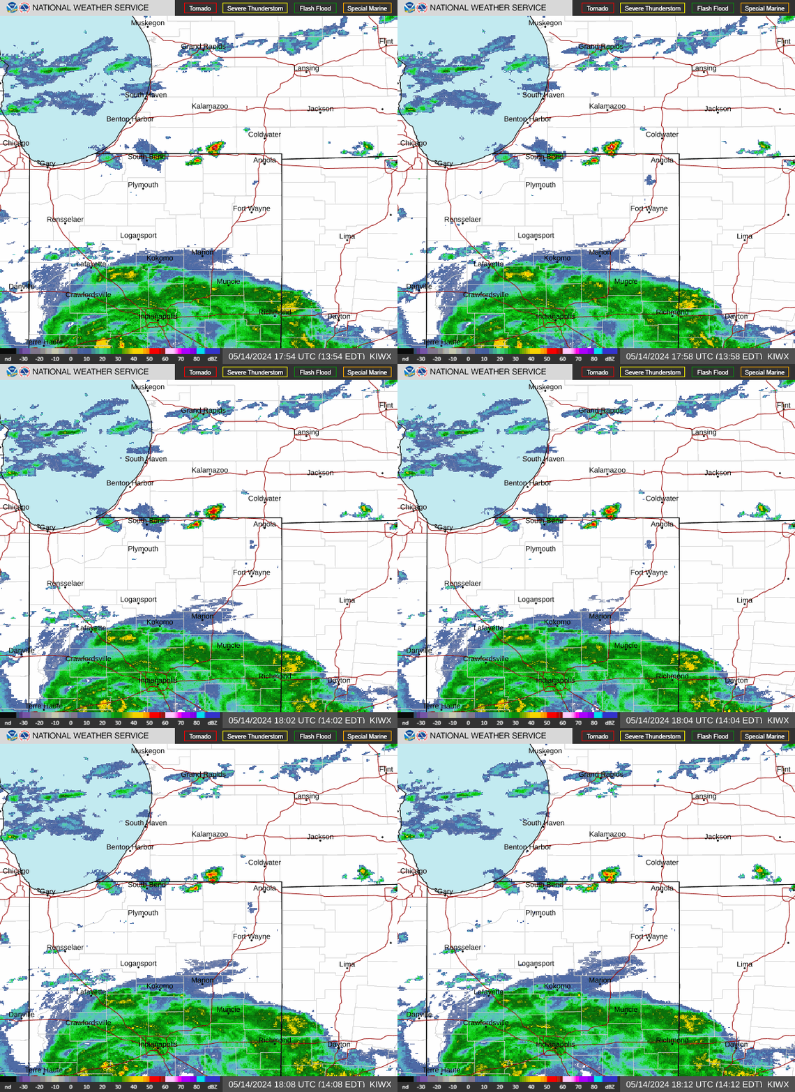
Click a location below for detailed forecast.
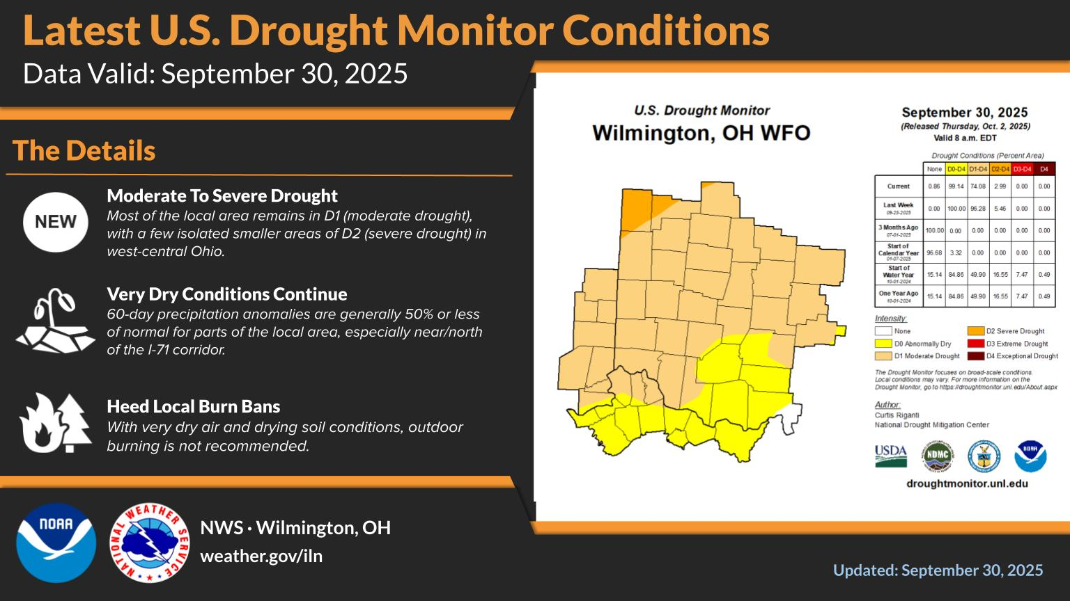
I like Max the most even though he sensationalizes.
Max Velocity:
The risk of severe storms has diminished for today, Thursday. I will be elevated on Friday, then pass east and greatly diminish on Saturday. There is not much risk for severe weather here in Evansville IN with this system.
Risk for the next 3 days below:
https://www.spc.noaa.gov/products/outlook/day1otlk.html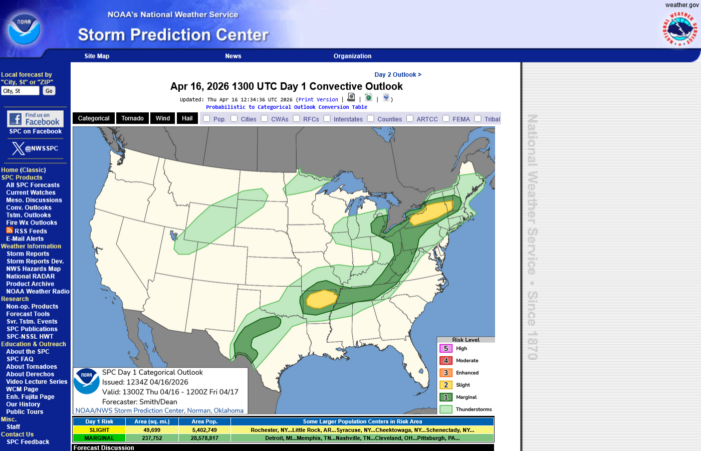
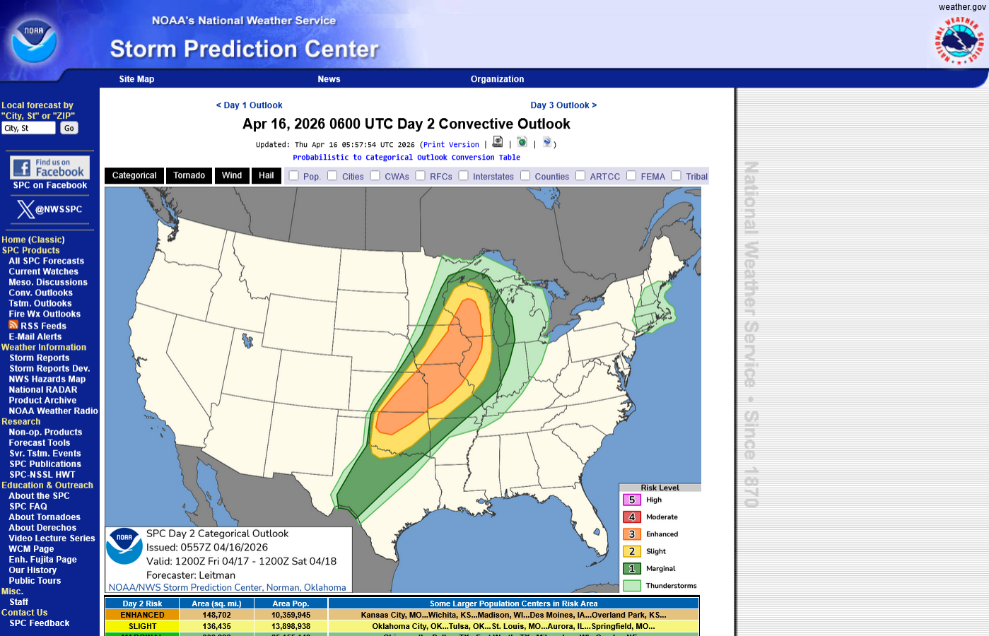
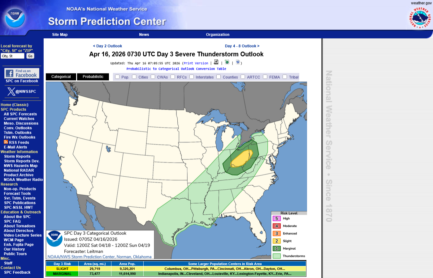
Today will be the last main event for severe weather. Things will quiet down a great deal tomorrow/Saturday when this system rapidly moves east of the Midwest.
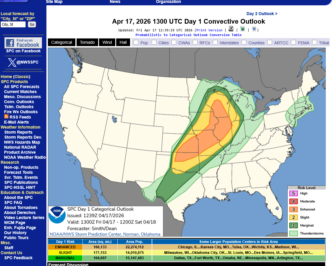
Below, we have a large ENHANCED, level 3 out of 5 risk. Moderate, level 4 and High, level 5 are above this.
I'll leave the same local/regional NWS sites from earlier this week above. Evansville, IN is unlikely to have severe weather with this system as it weakens overnight but still drops some welcome rains.
https://www.spc.noaa.gov/products/outlook/day1otlk.html
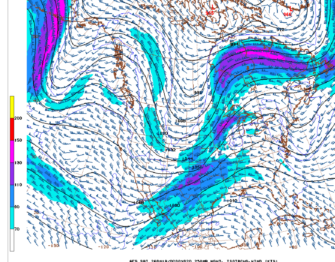
The 250 mb jet stream, which is around 32,000 feet above the ground will be interesting late today. 2 separate streams that are not phased yet. 1 is a more northern branch bringing in the much cooler air. The more southern jet stream is a subtropical jet on the backside of this early season heat wave.
Both jet streams have embedded jet streaks which will enhance the risk for severe storms, that will include tornadoes. A few strong tornadoes are possible, ESPECIALLY from the northern stream jet streak.
Max Velocity live covering today's tornado outbreak:
https://www.youtube.com/watch?v=6JkJPgrBMRc
New stream:
https://www.youtube.com/watch?v=cc8m0yJkdPY
Ryan Hall Y'all:
Weather-UPDATED LINKS
https://www.marketforum.com/forum/topic/83844/
Current Hazards at the link below.
For your NWS and county, go to the link below.
Then you can hit any spot on the map, including where you live and it will go to that NWS with all the comprehensive local weather information for that/your county.
This link below provides some great data. After going to the link, hit "Mesoanalysis" then, the center of any box for the area that you want, then go to observation on the far left, then surface observations to get constantly updated surface observations or hit another of the dozens of choices.
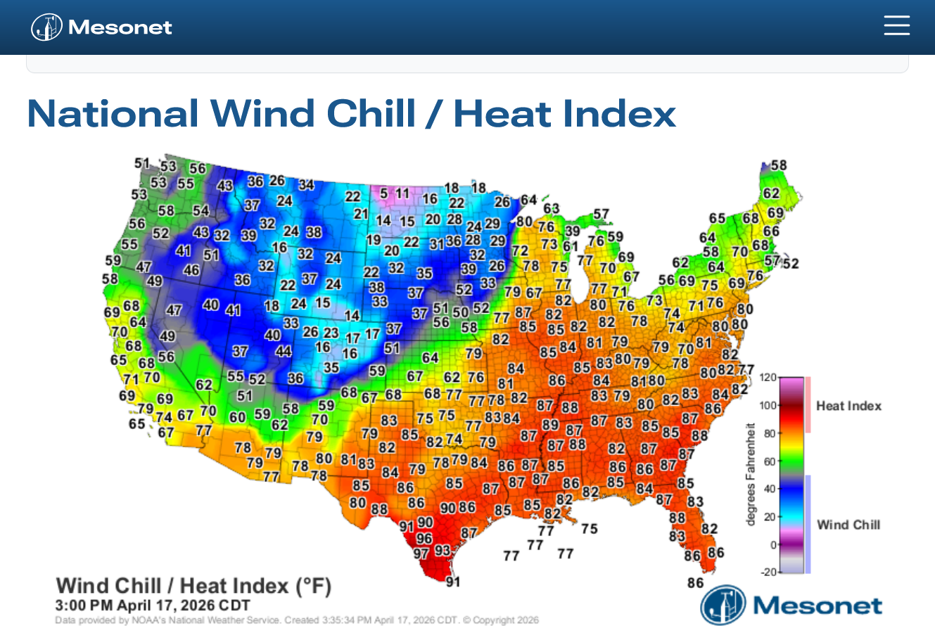
https://www.mesonet.org/weather/air-temperature/national-wind-chill-heat-index
Top map is an image at 3pm. The 2nd one is constantly updated.
New stream: Max Velocity. Watching this guy is addictive!
 Weather Map