
A Wonderful August 6th to you!
Scroll down and enjoy the latest comprehensive weather to the max!!
Rains continue to march south and east. Still...........maybe a small dry slot southwest Cornbelt.
Drying out now Upper Midwest.
The latest rain forecasts are below...........broken down into each period coming up. Then the 1 week totals.
Day 1 below:
http://www.wpc.ncep.noaa.gov/qpf/fill_94qwbg.gif?1526306199054

Day 2 below:
http://www.wpc.ncep.noaa.gov/qpf/fill_98qwbg.gif?1528293750112

Day 3 below:
http://www.wpc.ncep.noaa.gov/qpf/fill_99qwbg.gif?1528293842764

Days 4-5 below:
http://www.wpc.ncep.noaa.gov/qpf/95ep48iwbg_fill.gif?1526306162

Days 6-7 below:
http://www.wpc.ncep.noaa.gov/qpf/97ep48iwbg_fill.gif?1526306162

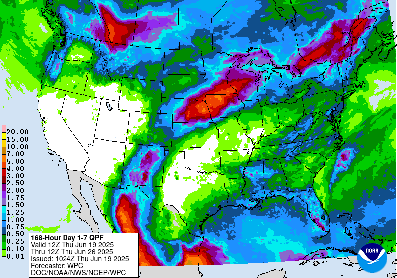
7 Day Total precipitation below:
http://www.wpc.ncep.noaa.govcdx /qpf/p168i.gif?1530796126
Excessive Rainfall threat. Shifts slowly south and southeastward this week. Rains almost entirely beneficial for Midwest/Plains. See maps below:
Current Day 1 Forecast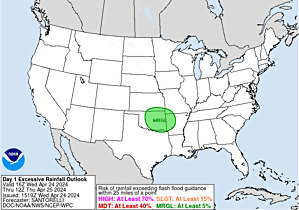 |
Day 1 Threat Area in Text Format
Current Day 2 Forecast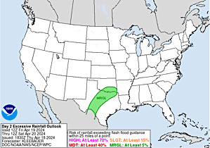 |
Day 3 forecast below
Severe Storm Risk. Hit the map for full screen. Eastern Cornbelt/SE Great Lakes S.Plains today........... shifting slowly east/southeast.
https://www.spc.noaa.gov/products/outlook/
Current Day 1 Outlook | |
Current Day 2 Outlook | |
Current Day 3 Outlook | |
Current Day 4-8 Outlook |
High Temperatures today and Tuesday.
Cooler N/C. PLains/Upper Midwest/Great Lakes.
Hot along both Coasts and in the South.........much of the country!


Dew points. 70+ on this scale makes it feel uncomfortable(sticky air)! Getting more humid with southerly winds over the eastern half of the country....but this moisture will be converted to rains over the next week as it pools towards the cold front which will be slowly sinking south.
Drier air N.Plains/U.Midwest.

Heat and high humidity COMBINED. Feels like temperature. Feeling sultry over the much of the country. NIce N.PLains/Upper Midwest.
https://www.youtube.com/watch?v=X8Ow1nlafOg

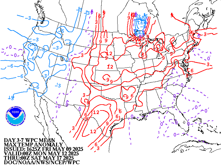
Highs days 3-7.
Great in the Great Lakes and just south/east. Intense heat West............that spills into the N.Plains, while Pacific Northwest cools.


How do these days 3-7 temperatures compare to average at this time of year? We have now past the climatological time of year when temperatures are the hottest.
Above average West/Rockies to N.Plains and eventually Upper Midwest. A bit below S.Plains.
High temperature departures:
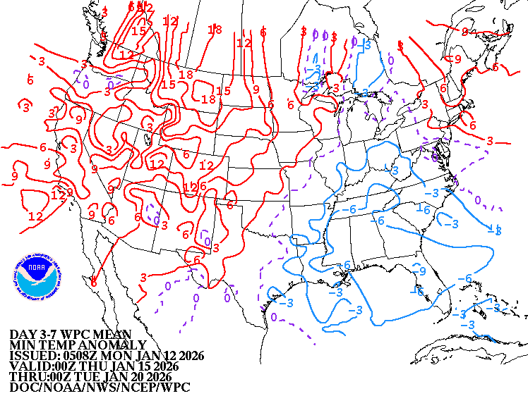
Low Temperature Departures:
Weather system from Plains to Great Lakes. High pressure Southeast........pumping in the heat and Gulf moisture on its backside.
https://weather.com/maps/currentusweather

Satellite picture. Clouds in the Great Lakes to Midwest to C.Plains.

Rains the past 24 hours. Parts of Iowa got bombed!
![]()
Missouri to S.Plains in bad shape....too dry. Some relief headed that way. 
You can go to this link to see rain totals from recent time periods:
https://water.weather.gov/precip/
Go to precipitation, then scroll down to pick a time frame. Hit states to get the borders to see locations better. Under products, you can hit "observed" or "Percent of normal"
Below are rains compared to average of the last 7, 14, 30 and 60 days. Usually not updated for previous day until late the next day.
https://www.atmos.illinois.edu/~snodgrss/Ag_Wx.html


Drought Monitor. This product is updated every Thursday.
http://droughtmonitor.unl.edu/Maps/CompareTwoWeeks.aspx

The low skill, longer range CFS model for weeks 3 and 4. Unstable/changeable pattern.
Since week 2 is already discombobulated from big data changes in the very active Pacific during week 1, what can we say about weeks 3 and 4?
Actually, this morning, the CFS does not have many anomalies of significance.

Precip below:

Last 12z operational GFS is cooler in the Midwest and Northeast during week 2. Last run below, previous one under that. My take? Either run might be right. Much uncertainty for that period, especially with the East Pacific tropics so active this week..........and causing initial conditions that models start with to change a great deal here in week 1, which will greatly effect downstream solutions in the week 2 pattern.
gfs_namer_312_200_wnd_ht | gfs_namer_312_500_vort_ht |
gfs_namer_312_1000_500_thick | gfs_namer_312_850_temp_ht |
Previous run below
gfs_namer_324_200_wnd_ht | gfs_namer_324_500_vort_ht |
gfs_namer_324_1000_500_thick | gfs_namer_324_850_temp_ht |
Total rains on the last 12z GFS operational model..........for 16 days.
The model has consistently been pretty wet.......with the exception of the Northwest quadrant of the belt, into the N.Plains.
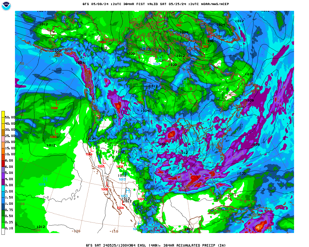
Last 12z GFS ensemble mean average is MUCH warmer than the last operational run.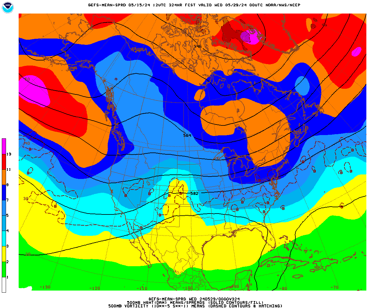
Last 12z Canadian model individual ensembles have extreme disagreement on where the heat ridge might be in week 2. The average is the top map for Aug 19, followed by the individual members........Wow, quite a disparity.
Below this set of maps for 300 hours(day 12+) is the day 16 solution..........shifts the heat ridge a bit farther east and expands it northward to dominate much of the country.
300h GZ 500 forecast valid on Aug 19, 2018 00UTC
Forecasts for global GEM, control (GEM 0) and the 20 ensemble members
Day 16 below: Majority say HOT! But this may change a LOT!
384h GZ 500 forecast valid on Aug 22, 2018 12 UTC
Forecasts for the control (GEM 0) and the 20 ensemble members (global model not available)
The maps below are from the NWS extended outlooks. The week 2 period is very uncertain right now, partly because of the very active Eastern Pacific which could change initial conditions that are fed into computer forecast models. Changes can amplify downstream with time and greatly effect the weather in North America.
The forecasts below have plenty of rain, possibly increasing during week 2. Temperatures might be much different than those depicted below.
6-10 day Temperature Probability | |
Precipitation Probability | |
8-14 day Temperature Probability | |
Precipitation Probability | |
The European model products, including the control model below and the ensembles have the heat ridge farther west, which lets cooler air flow into the East.......but is MUCH drier everywhere with the heat in the Rockies/Plains to W.Cornbelt.
Take this with a grain of salt but if the maps below would verify, it would be bullish for the grains.
T