
Happy July 28th!
Scroll down and really enjoy the latest comprehensive weather.
Wet C/S.Plains, rains march east. The next week will be wet in many places(some that need rain badly) in the Southern, then Eastern Midwest.........not as much in the N.Plains/ Upper Midwest.
Key state Iowa may miss the best rains.
The latest forecasts are below.
Day 1 below:
http://www.wpc.ncep.noaa.gov/qpf/fill_94qwbg.gif?1526306199054

Day 2 below:
http://www.wpc.ncep.noaa.gov/qpf/fill_98qwbg.gif?1528293750112

Day 3 below:
http://www.wpc.ncep.noaa.gov/qpf/fill_99qwbg.gif?1528293842764

Days 4-5 below:
http://www.wpc.ncep.noaa.gov/qpf/95ep48iwbg_fill.gif?1526306162

Days 6-7 below:
http://www.wpc.ncep.noaa.gov/qpf/97ep48iwbg_fill.gif?1526306162

7 Day Total precipitation below:
http://www.wpc.ncep.noaa.govcdx /qpf/p168i.gif?1530796126
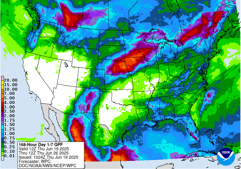
Excessive Rainfall threat Central/Southern Plains....shifting southeast.
Current Day 1 Forecast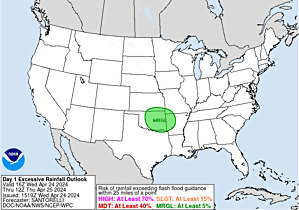 |
Day 1 Threat Area in Text Format
Current Day 2 Forecast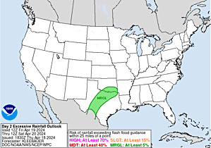 |
Day 3 forecast below
Severe Storm Risk. Hit the map for full screen. Today: Highest threat Central High Plains, shifting to Central Plains today.
https://www.spc.noaa.gov/products/outlook/
High Temperatures today and Sunday....... feels like Fall in the N/C.Plains/Midwest. Hot deep South/Gulf Coast. Heating up a bit far S.Plains.
Blast furnace in the Southwest..........even Pacific Northwest feels the heat!!!


Dew points. 70+ on this scale makes it feel uncomfortable(sticky air)! Very Comfortable air N/C Plains/ Midwest!

Highs days 3-7.
Magnificent start Central Plains to Midwest......gradually heating back up during this period.
Record smashing Heat West to start.........but then cooling down!!!!!


How do these temperatures compare to average at this time of year? We have now past the the climatological time of year when temperatures are the hottest.
Getting close to average in the Plains to Midwest.
Record heat in the West early in the period.......warm Northeast.
High temperature departures:
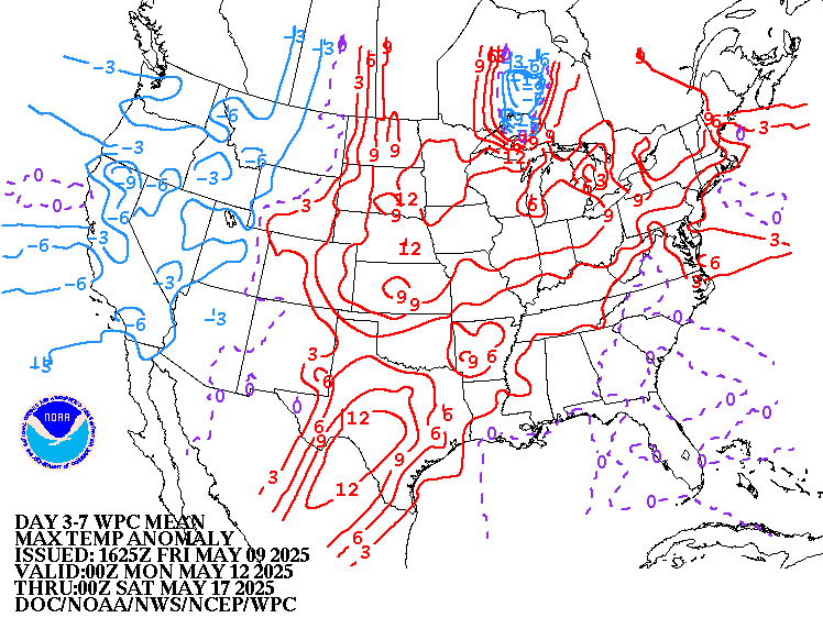
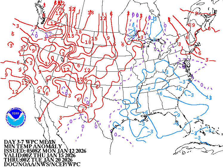
Low Temperature Departures:
Cool Canadian high pressure Plains to Midwest. Stalled front Northeast Coast to Midatlantic to Southeast to S.Plains.
https://weather.com/maps/currentusweather

Satellite picture.

Rains the past 24 hours. East Coast............High Plains.
![]()
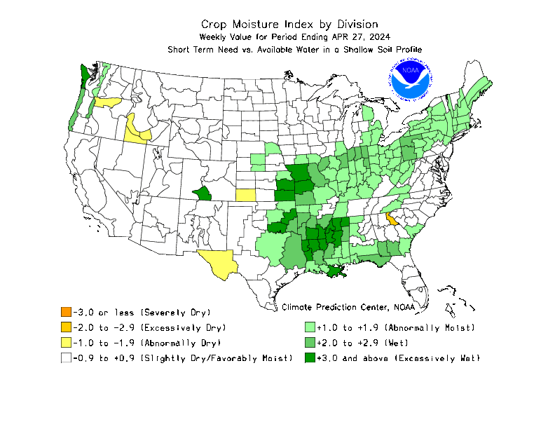
Missouri/Arkansas to S.Plains in bad shape....bone dry(big relief KS/MO/AR coming).
Recent drying has extended into S.IA/IL/IN/OH. Watching to see how much of that area gets upcoming rains..........IA could miss.
NE to s.MN/n. IA...........wet soils recently but drying out.

You can go to this link to see rain totals from recent time periods:
https://water.weather.gov/precip/
Go to precipitation, then scroll down to pick a time frame. Hit states to get the borders to see locations better. Under products, you can hit "observed" or "Percent of normal"
Below are rains compared to average of the last 7, 14, 30 and 60 days.
See how dry it's been in the Central Cornbelt for over a week and some negative departures for 14 and 30 days over the southern and eastern belt.:
https://www.atmos.illinois.edu/~snodgrss/Ag_Wx.html


Drought Monitor. This product is updated every Thursday.
http://droughtmonitor.unl.edu/Maps/CompareTwoWeeks.aspx

Temperature Anomalies from GFS ensembles(fairly reliable product) going out 2 weeks. These maps show the Northern Hemisphere. The map of the US is front center. Look for the state borders in white.
Today: Cool in N/C Plains and Midwest.............. heat backed up West.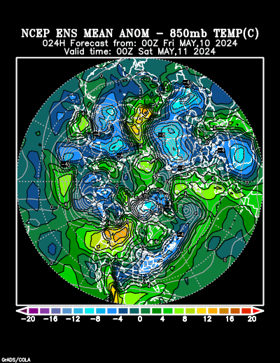
In 5+ days:
Hot West!! Below average temperatures Midwest to South.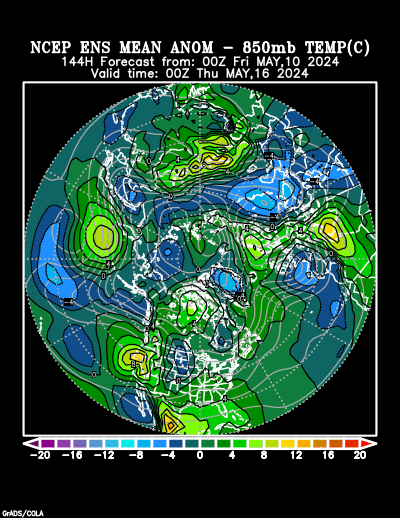
In 10+ days Hot West!!!! Heat spills across the entire country.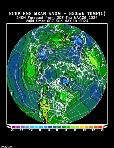
Day 15 Hot West.............Heat IS shifting and moving around.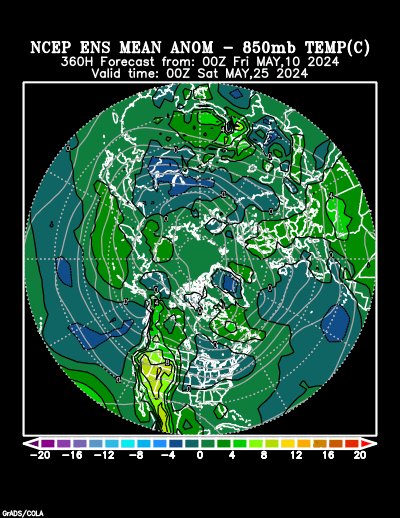
Last 0Z run of Canadian ensembles. Still..........The same question of the last 11 days for this period. How deep will the upper level trough in the Northeast back to Upper Midwest be in week 2? Will this mark a pattern change?
Will the strong upper level ridge in Western Atlantic backing up towards East Coast merge/bridge with the heat ridge from the Southwest/S.Plains eastward? Will this nudge the trough northward?
Around half of the members have this idea.
360h GZ 500 forecast valid on Jul 28, 2018 00UTC
The low skill, longer range CFS model for weeks 3 and 4............looks drastically different again today.
Early/mid last week it looked hot............then turned very cool, especially yesterday(and dry yesterday)........now its looking warmer and wet.

Precip below:

The NWS week 3-4 outlook from yesterday, partly based on the old CFS model..........and you can throw that out the window!
By metmike - July 27, 2018, 5:07 p.m.
NWS week 3-4 outlook:
Coooool N/C Plains across the Midwest to the Southeast.
Wet southern 2/3rds, dry northern border states.
Temperature Probability | Precipitation Probability (Experimental)  |