
Happy July 22nd!
Scroll down and enjoy the latest comprehensive weather.
Wet East Coast!
Dry pocket in Midwest early in the period, but rains(big) increase C.Plains later this week, spreading east!
The latest forecasts are below.
Day 1 below:
http://www.wpc.ncep.noaa.gov/qpf/fill_94qwbg.gif?1526306199054

Day 2 below:
http://www.wpc.ncep.noaa.gov/qpf/fill_98qwbg.gif?1528293750112

Day 3 below:
http://www.wpc.ncep.noaa.gov/qpf/fill_99qwbg.gif?1528293842764

Days 4-5 below:
http://www.wpc.ncep.noaa.gov/qpf/95ep48iwbg_fill.gif?1526306162

Days 6-7 below:
http://www.wpc.ncep.noaa.gov/qpf/97ep48iwbg_fill.gif?1526306162

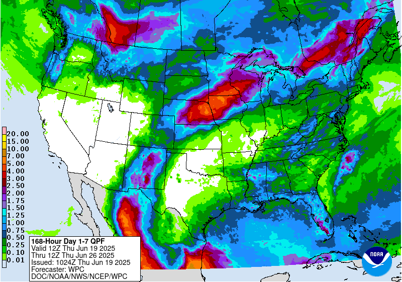
7 Day Total precipitation below:
http://www.wpc.ncep.noaa.govcdx /qpf/p168i.gif?1530796126
Excessive Rainfall threat..........mostly East today.
Current Day 1 Forecast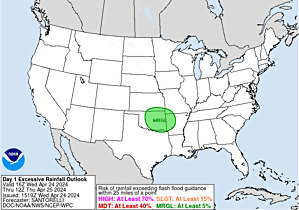 |
Day 1 Threat Area in Text Format
Current Day 2 Forecast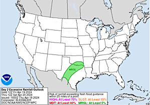 |
Day 3 forecast below
Severe Storm Risk. Southeast/FL......new system N.Plains. Press your cursor on the map for full screen.
https://www.spc.noaa.gov/products/outlook/
High Temperatures today and Monday....... Very comfortable Midwest, to East Coast. Blast furnace heat in the S.Plains......also Southwest.


Dew points. 70+ on this scale makes it feel uncomfortable(sticky air)! Comfortable air N.Plains/ Midwest to East Coast. Still sticky along the Gulf Coast.

Heat and high humidity COMBINED.
Highs days 3-7.
Very warm to hot South. Magnificent North(especially Upper Midwest/N.Plains).
Record Heat West!!!!!


How do these temperatures compare to average at this time of year?
Close to average in the Midwest to East/Coast(several cool days N.Plains/Upper Midwest).
Heat backs up to the West! Record heat in some places and this is the hottest time of year!!
High temperature departures:
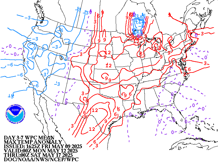
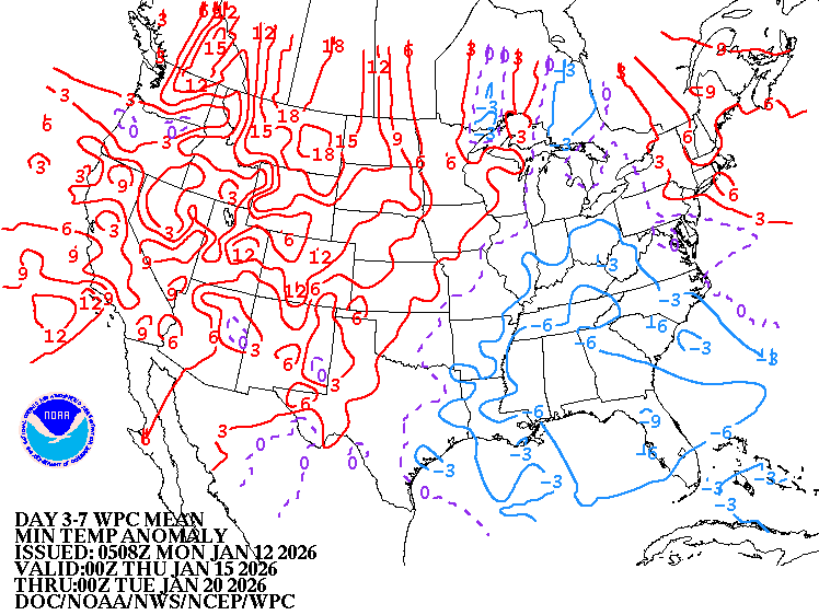
Low Temperature Departures:
Active in the East.................a couple of perturbations/waves with surface reflections having reinforcing cold fronts.
https://weather.com/maps/currentusweather

Here is the latest radar image:
Look at the showers rotating counterclockwise around the upper level low in the East.
http://www.nws.noaa.gov/radar_tab.php

Zooming in lets you really see that circulation!
https://radar.weather.gov/Conus/centgrtlakes_loop.php

Rains the past 24 hours.
Eastern Cornbelt and southeast got some. Excessive near East Coast.
![]()
Missouri/Arkansas to S.Plains in bad shape....bone dry.
NE to s.MN/n. IA...........wet!

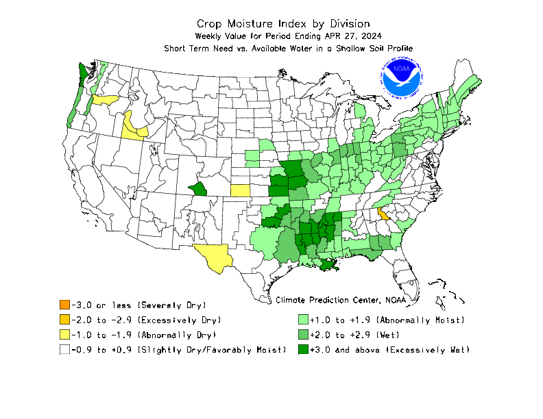
Rains over the last week, 2 weeks, month and 2 months compared to normal.
https://www.atmos.illinois.edu/~snodgrss/Ag_Wx.html


Drought Monitor. This product is updated every Thursday.
http://droughtmonitor.unl.edu/Maps/CompareTwoWeeks.aspx

Temperature Anomalies from GFS ensembles(fairly reliable product) going out 2 weeks:
Today: Pocket of Cooler than average Midwest to East Coast..... heat backed up West...very hot S.Plains.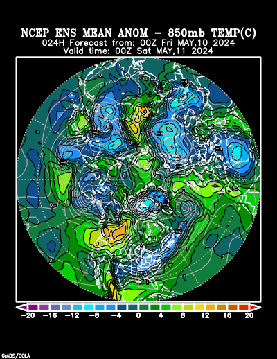
In 5+ days:
Hot West!! Below average temperatures N.Plains/ Midwest.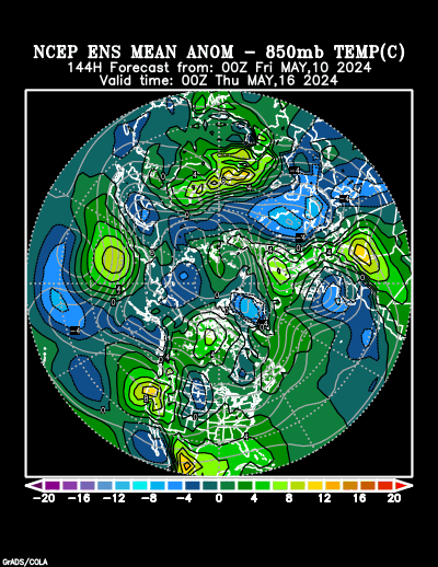
In 10+ days Hot West!!!! Below average Midwest.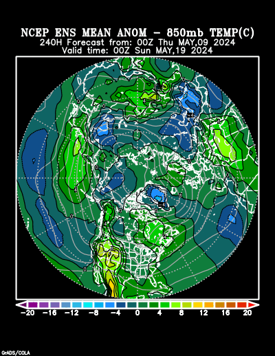
Day 15 Hot West to Plains.............The pattern may be shifting and heat moving east!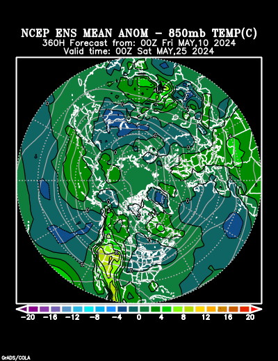
Last 0Z run of Canadian ensembles. How deep will the upper level trough in the Northeast back to Upper Midwest be late in the week 2 period? Will this mark a pattern change?
Will the strong upper level ridge in Western Atlantic backing up towards East Coast merge/bridge with the heat ridge from the Southwest/S.Plains eastward? Will this nudge the trough northward?
Less than half of the members have this idea.
360h GZ 500 forecast valid on Jul 28, 2018 00UTC
The low skill, longer range CFS model for weeks 3 and 4............new heat ridge builds.
Alot of rain C.Plains to Midwest.

Precip below:

NWS extended forecast........for Plains/Midwest, widespread below normal temperatures......bearish for natural gas(and corn because kernel filling will be maximized). Hot out West.
Will this pattern shift in early August?
| Temperature Probability 6-10 day  |
Precipitation Probability |
| Temperature Probability 8-14 day  |
Precipitation Probability |
We have disagreement in the models for late week 2. The GFS products, indicate (but not unanamously) troughing in the Midwest to just east will continue thru the period.
The European model weakens that trough and builds some upper level ridging as the heat ridge out West breaks down with jet stream energy coming from that direction helping to force the ridging in the East.
12z Canadian model ensembles move towards the European model, with its changes from the previous run which would represent a pattern change in early August.
12z GFS ensembles-most still have have deep trough from Midwest and just east.

12Z Canadian ensembles have a few more with ridge building in the East, pushing the trough north
384h GZ 500 forecast valid on Aug 07, 2018 12 UTC
Just got a nice 1 inch rain roll through here ECILL
yes mother nature can be cruel...after missig rain after rain that drifted east or south east today we missed them as thry drifted west and south west...we are now about 8/10ths for July and although that's dry and hot our crops seem to be hanging in