Most weather maps on MarketForum are updated constantly, from radar images every few minutes to daily precip/models. This causes my descriptions of some of the maps(which only comes out with the initial post) to be outdated later on or the next day. Every day, we just start over again with new descriptions and new maps. Please enjoy the comprehensive coverage of your weather here!
Note: Main feature: Southern Midwest front.
https://weather.com/maps/currentusweather

Here is the latest radar image. 
Satellite picture.

Rains the past 24 hours......lots of places.![]()
Most importantly........forecast rains.
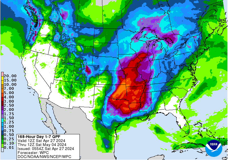
Rains the next 7 days ......... Not exactly like a broken record any more pattern is starting to change...........rains getting skinnier.
Day 1:
http://www.wpc.ncep.noaa.gov/qpf/fill_94qwbg.gif?1526306199054
Day 2:
http://www.wpc.ncep.noaa.gov/qpf/fill_98qwbg.gif?1528293750112
Day 3:
http://www.wpc.ncep.noaa.gov/qpf/fill_99qwbg.gif?1528293842764
Days 4-5:
http://www.wpc.ncep.noaa.gov/qpf/95ep48iwbg_fill.gif?1526306162
Days 6-7:
http://www.wpc.ncep.noaa.gov/qpf/97ep48iwbg_fill.gif?1526306162
Total accumulation
http://www.wpc.ncep.noaa.gov/qpf/p168i.gif?1526397762

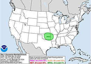
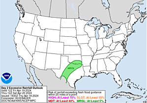
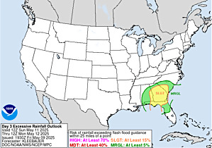
Not many areas with excessive rain potential anymore. Hit the map for full screen.
http://www.wpc.ncep.noaa.gov/qpf/excess_rain.shtml
Current Day 1 Forecast Valid 15Z 06/11/18 - 12Z 06/12/18 |
Day 1 Threat Area in Text Format
| Day 2 and Day 3 Forecasts |
Current Day 2 Forecast Valid 12Z 06/12/18 - 12Z 06/13/18 |
Day 2 Threat Area in Text Format
Current Day 3 Forecast |
Severe Storm Risk. Push your cursor on the map for full screen.
https://www.spc.noaa.gov/products/outlook/
See "Wednesday Weather top story" for the rest of the weather.