Sunday Morning: This post was started late Saturday evening. Since then, all the maps included have continued to be updated and the descriptions from late Satuday don't correspond to the newly updated maps.
That is actually the case with most of my weather............. the maps that I provide here are constantly updated.
The next big cluster of storms is erupting and may grow then move southeast tonight:
ttps://radar.weather.gov/Conus/index_loop.php

Go to: Most Recent Image
The storms are barely coming on frame with the regional radar loop below here at 11pm.

Here is where they are mostly likely to threaten with severe weather the next couple of hours: E.Iowa NW.IL
| Mesoscale Discussion 690 | |
| < Previous MD | |
 DISCUSSION...Latest radar loop shows a complex cluster of storms moving east-southeast across east-central and northeast Iowa at this time. Some acceleration of forward motion has been noted, and expect this to continue -- with eventual evolution into a single, bowing MCS expected, as the main band of storms overtakes a leading cluster of cells just to the southeast of the main band. While the possibility of marginally severe hail continues with stronger cores, expect a gradual transition toward locally damaging winds as the main severe risk, before an expected decrease in severe potential overnight. | |
These storms will put down an outflow boundary(s) and rain cooled air that will serve as a focusing agent for tomorrow's generation of new storms.
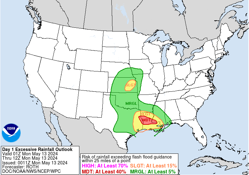
The yellow shaded area is the region most likely to see heavy rains tonight.........dowstream for the storms above. Some of the cells could produce isolated 3-5 inches of rain.

Tomorrow, what boundaries are left from tonights storms will ignite new storms downstream, with a brand new perturbation upstream in the Northern Plains(ridge rider along the periphery of the heat ridge) emerging.
| Day 2 and Day 3 Forecasts |
Current Day 2 Forecast Valid 12Z 06/10/18 - 12Z 06/11/18 |
Day 2 Threat Area in Text Format
On Monday, the pattern continues as storms start in the N.Plains vicinity, move southeast around the dome(ring of fire patterrn).
New waves start out in the N.Plains/Upper Midwest and move southeastward. The timing is impossible but locations most likely are shaded in greens and especially yellows but could be just outside those colors.
mcfarm, cutworm and PLL are all in the a zone that could see one of those big mcc(mesoscale convective clusters) come rolling thru with hefty rains.
Current Day 3 Forecast |
Severe Storm Center concurs with this forecast philosphy:
thanks metmike. I admire your energy and enthusiasim on the site. Some of the best weather info I have seen. Not to mention you watching over a bunch of hellions like us.
Don't know if I've posted this previously, but if so, chalk it up to old age. (g)
This remind me of when I used to listen to Elwynn Taylor back thirty or so years ago on WOI (AM). I would be listening for word of the potential drought - getting up close to the radio - straining to hear what he was saying through the static caused by all the thunderstorms.
cfdr...that is hilarious
You're very welcome mcfarm,
Hilarous cdfr!