
Happy July 20th!
Scroll down and enjoy the latest comprehensive weather for trading............ or for any other reason.
Strong heavy rain signal for potential flooding events in eastern part of the country!
Dry pocket is growing in Midwest during week 1 ! Tons of Rain around it. The latest forecasts are below.
Day 1 below:
http://www.wpc.ncep.noaa.gov/qpf/fill_94qwbg.gif?1526306199054

Day 2 below:
http://www.wpc.ncep.noaa.gov/qpf/fill_98qwbg.gif?1528293750112

Day 3 below:
http://www.wpc.ncep.noaa.gov/qpf/fill_99qwbg.gif?1528293842764

Days 4-5 below:
http://www.wpc.ncep.noaa.gov/qpf/95ep48iwbg_fill.gif?1526306162

Days 6-7 below:
http://www.wpc.ncep.noaa.gov/qpf/97ep48iwbg_fill.gif?1526306162

7 Day Total precipitation below:
http://www.wpc.ncep.noaa.govcdx /qpf/p168i.gif?1530796126
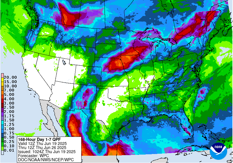
Excessive Rainfall threat..........moving east.
Current Day 1 Forecast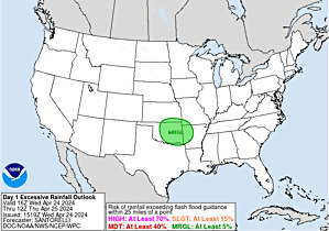 |
Day 1 Threat Area in Text Format
Current Day 2 Forecast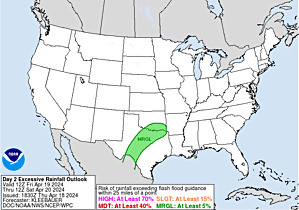 |
Day 3 forecast below
Severe Storm Risk. Moving east/southeast. Press your cursor on the map for full screen.
https://www.spc.noaa.gov/products/outlook/
High Temperatures today and Saturday very comfortable Midwest, spreading to the East. Triple digit heat in the S.Plains......also Southwest.


Dew points. 70+ on this scale makes it feel uncomfortable(sticky air)! Refreshingly dry and comfortable air N.Plains/Upper Midwest.

Heat and high humidity COMBINED.
Highs days 3-7............Sizzling at the start in the S.Plains.
Very warm South. Magnificent North.
Record Heat West!!!!!


How do these temperatures compare to average at this time of year?
Close to average in the Midwest to East/Coast! Heat backs up to the West! Record heat in some places and this is the hottest time of year!!
High temperature departures:
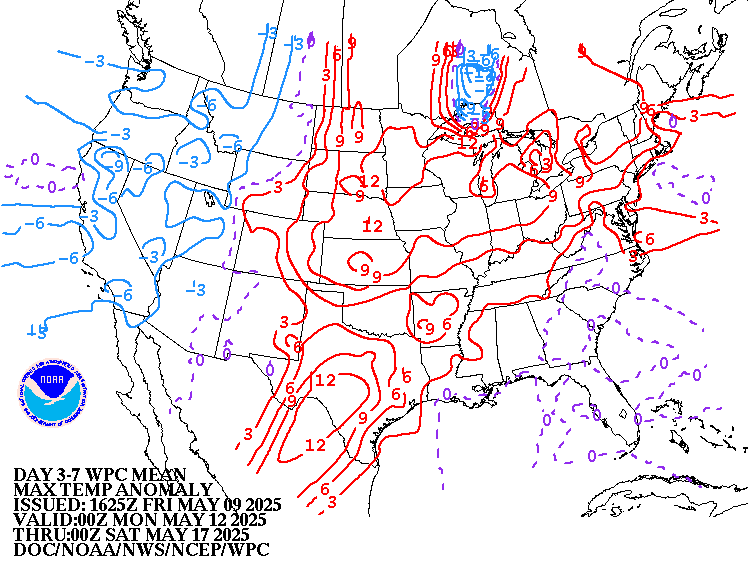
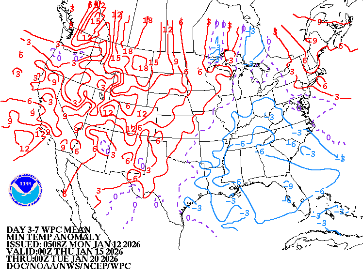
Low Temperature Departures:
Satellite picture.

Rains the past 24 hours.
![]()
You can go to this link to see rain totals from recent time periods:
https://water.weather.gov/precip/
Go to precipitation, then scroll down to pick a time frame. Hit states to get the borders to see locations better. Under products, you can hit "observed" or "Percent of normal
Missouri/Arkansas to S.Plains in bad shape....bone dry.
NE to s.MN/n. IA...........wet!

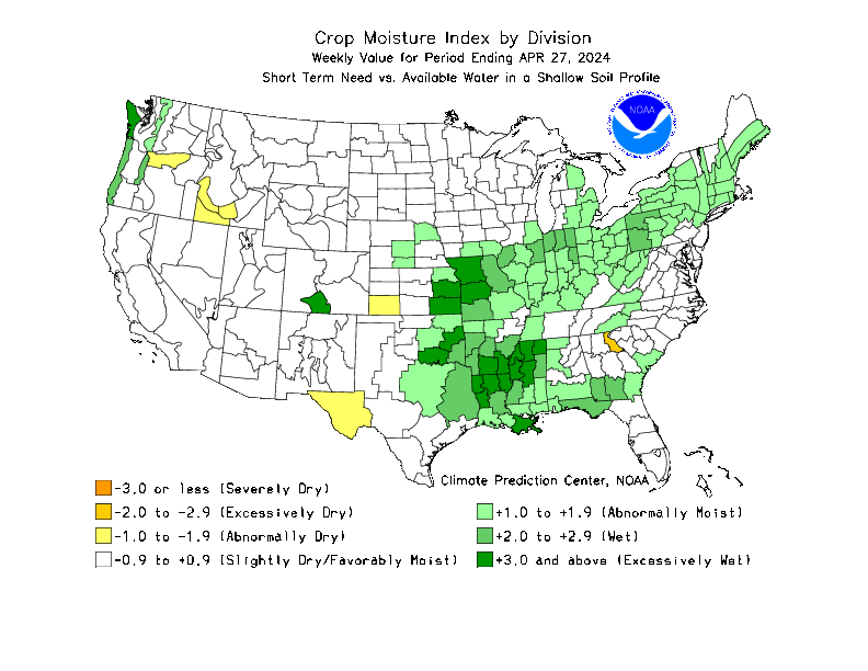
Rains over the last week, 2 weeks, month and 2 months compared to normal.
https://www.atmos.illinois.edu/~snodgrss/Ag_Wx.html


Temperature Anomalies from GFS ensembles going out 2 weeks:
Today: Pocket of Cooler than average Midwest, heat backed up West...continues in S.Plains.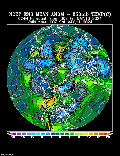
In 5+ days:
Hot West!!, New cold front N.Plains.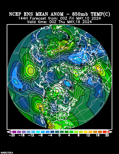
In 10+ days Hot West!!!! Around average/slightly below Midwest.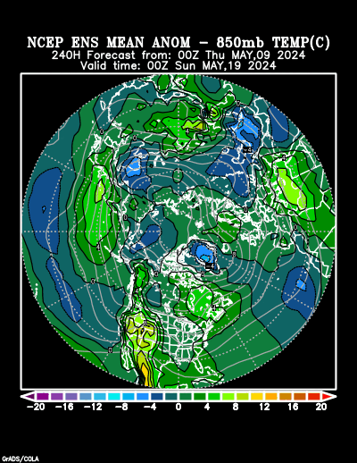
Day 15 Hot West to High Plains, around average east/slightly below.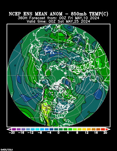
Same as the last 6 days:
Last 0Z run of Canadian ensembles. How deep will the upper level trough in the Northeast back to Upper Midwest be?
Will the strong upper level ridge in Western Atlantic backing up towards East Coast merge with the heat ridge from the Southwest/S.Plains eastward? Will this nudge the trough northward?
Less than half of the members have this idea.
360h GZ 500 forecast valid on Jul 28, 2018 00UTC
thanks Mike....see the dry is finally showing up in Indiana...we are so dry here the leaves are now falling...big rain still expected for the weekend. crops hanging in there despite the dry
The low skill, longer range CFS model for weeks 3 and 4............ cool N.Plains, heat south. Stays hot far West.
Alot of rain Upper Midwest to N/C Plains.

Precip below:

I am forever amazed by the torrent of information, support and understanding that emanates from within you. You are truly a geyser of a guy! It is hot and sunny in the Northeast, near Syracuse, Utica, Rome, New York. A 72 year old dear friend called and pleaded with me to help him bale hay this afternoon. Seems the young buck boys that promised him their muscle had all reneged on their obligation. Making hay while the sun shines! I'll imagine you up on that haywagon with me while I stack the hay, all the while commenting on the various cloud formations and expected forecast. Take care, super amigo!
The wheat ripping up out of the diamond bottom, the high protein variety on fire!
Thanks for the Fantastic Comments Hayman!
I see that Chi wheat is +11c, KC wheat +12c and Minn wheat is +16c
Great call yesterday!
Last 12z GFS Operational model run is warmer. Tries to bridge the W.Atlantic upper level ridge with the heat ridge in the W. US and squeeze the trough out in the East.
Individual models are well know to have low forecasting skill at that time frame, so I consider it an outlier that contradicts the consensus of model output right now.
gfs_namer_360_200_wnd_ht | gfs_namer_360_500_vort_ht |
gfs_namer_360_1000_500_thick | gfs_namer_360_850_temp_ht |
NWS extended forecast........for Midwest, below normal temperatures and above normal rains...........bearish as it gets for corn/beans in July............but we were higher today.
Below temps Midwest to Southeast is also bearish natural gas.......which was a tad lower. Blazing heat out West to the S.Plains!!!!
| Temperature Probability 6-10 day  |
Precipitation Probability |
| Temperature Probability 8-14 day  |
Precipitation Probability |
Extreme weather days 3-7:
HOT! out West to S.Plains and just east.
Numerous heavy rain events East Coast. Potential major flooding!

The NWS gives a week 3-4 outlook every Friday Afternoon. The latest one is below.
It looks similar to the week 2 forecasts. Hot West to S.Plains, below temps N.Plains/Upper Midwest.
Wet in the East.
A weather prediction for a period this far out has much less skill than next week's forecast obviously and uses different tools than what we use shorter term forecasts. You can read the forecast philosophy/reasoning here:
http://www.cpc.ncep.noaa.gov/products/predictions/WK34/
| Week 3-4 Outlooks | ||
| Valid: 04 Aug 2018 to 17 Aug 2018 Updated: 20 Jul 2018 | ||
| Please provide comments using the online survey. | ||
Temperature Probability | Precipitation Probability (Experimental)  | |
A yr of have and have not
I can't believe it
So much of the corn belt has rain
If you had looked at the Dopplar radar today, we were covered for rain --yes yes
However a closer to home radar showed a cell 20 miles away and moving our way -yes
Plus a circular system moving in from the East-yes
Plus another cell moving from our west-yes
All of this is yellow and red
And what happens
Everything split, went around us and we did not get the patio wet--just damp and already evaporated
However
Local weather says more chances tonite on into morning hrs
We are so dry - well you know the story
This yr is one for the books that I hope never to see again
And to make it worse
All the counties around us are in worse shape than us
A lot is beyond help
We will have to rely on Mich corn to supply our domestic needs and/or else Toldeo
We currently have an open air burn ban in effect, which started last week
Oh well
At least we did not get the wind damage although we did have storm warnings
Looks like Iowa got hit bad
Not good
Even with wind insurance you never come out
whole
I know
I had 3 insurance claims in one yr
Sorry to hear that you are one of the have nots regarding rains this year Wayne.
Some rain chances for you though over the next week with the pattern. The system generating these storms in the Eastern Corn belt right now will bring a chance to you tonight maybe.
Jim should get more rain...........if fact, Jim might have a few rains over the next week.
The operational 18z GFS was MUCH cooler than the outlier, very warm 12z GFS..........which defied the consensus and was ignored by the natural gas market.
gfs_namer_360_200_wnd_ht | gfs_namer_360_500_vort_ht |
gfs_namer_360_1000_500_thick | gfs_namer_360_850_temp_ht |