Most weather maps on MarketForum are updated constantly, from radar images every few minutes to daily precip/models.
This causes my descriptions of some of the maps(which only comes out with the initial post) to be outdated later on or the next day.
The solution? Every day, we just start over again with new descriptions and new maps. Please enjoy the comprehensive coverage of our weather on here!
https://weather.com/maps/currentusweather

Here is the latest radar image. You can see the rains along that front.

Rains the past 24 hours......heaviest in KS/OK.![]()
You can go to this link to see rain totals from recent time periods:
https://water.weather.gov/precip/
Go to precipitation, then scroll down to pick a time frame. Hit states to get the borders to see locations better. Under products, you can hit "observed" or "Percent of normal".
Tons of rain across the key growing region. Some places in MN/IA/IL getting 8+ inches of rain in the last 2 weeks. This was actually a bit too much for the beans in those areas.
Most importantly........forecast rains.
Rains the next 7 days .........like a broken record....dumping on much of the country............... rain makes grain still but this pattern is going to change...........things will be shifting.
Day 1:
http://www.wpc.ncep.noaa.gov/qpf/fill_94qwbg.gif?1526306199054
Day 2:
http://www.wpc.ncep.noaa.gov/qpf/fill_98qwbg.gif?1528293750112
Day 3:
http://www.wpc.ncep.noaa.gov/qpf/fill_99qwbg.gif?1528293842764
Days 4-5:
http://www.wpc.ncep.noaa.gov/qpf/95ep48iwbg_fill.gif?1526306162
Days 6-7:
http://www.wpc.ncep.noaa.gov/qpf/97ep48iwbg_fill.gif?1526306162
Total accumulation
http://www.wpc.ncep.noaa.gov/qpf/p168i.gif?1526397762

Some areas have a threat for excessive rains.......moving back north then east as the heat ridge builds. Hit the map for full screen.
http://www.wpc.ncep.noaa.gov/qpf/excess_rain.shtml
Current Day 1 Forecast Valid 15Z 06/11/18 - 12Z 06/12/18 |
Day 1 Threat Area in Text Format
| Day 2 and Day 3 Forecasts |
Current Day 2 Forecast Valid 12Z 06/12/18 - 12Z 06/13/18 |
Day 2 Threat Area in Text Format
Current Day 3 Forecast |
Excessive rainfall discussion:
http://www.wpc.ncep.noaa.gov/discussions/hpcdiscussions.php?disc=qpferd
Severe Storm Risk. Push your cursor on the map for full screen.
https://www.spc.noaa.gov/products/outlook/
Current Day 1 Outlook | Forecaster: Hart/Kerr Issued: 18/1240Z Valid: 18/1300Z - 19/1200Z Forecast Risk of Severe Storms: Slight Risk |
Current Day 2 Outlook | Forecaster: Bunting Issued: 18/0600Z Valid: 19/1200Z - 20/1200Z Forecast Risk of Severe Storms: Marginal Risk |
Current Day 3 Outlook | Forecaster: Bunting Issued: 18/0731Z Valid: 20/1200Z - 21/1200Z Forecast Risk of Severe Storms: Marginal Risk |
Current Day 4-8 Outlook |
they say large parts of Missouri and S Illinois and w Ill really dry....not in good shape in front of the 90's...other Northern regions have crops yellowing from too much rain...534 acre sold in se south Dakota last week for 10,000 to 11,000 per acre....although it was said this was a very good farm those are some pretty fancy prices for this ag environment
High Temperatures today and Monday.......cool Upper Midwest and Northeast......hot south.


Highs days 3-7 shows Blistering heat from C/S Plains to S.Midwest, spreading northeast, eventually Northeast, with near record highs there.


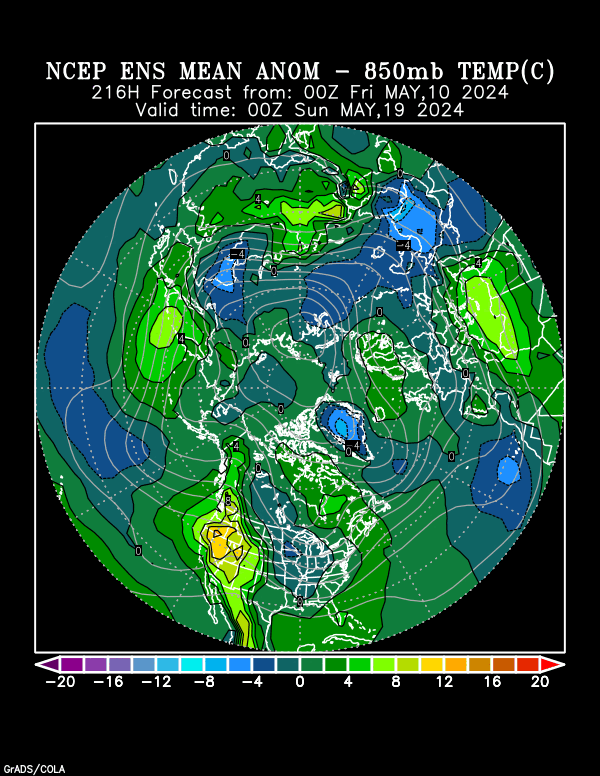
According to this fairly reliable indicator, from the GFS emsemble mean products, this is where the heat anomolies will be at the very start of July.........from the S.Plains to the Northeast.......near record heat:
A week later, those heat anomolies have shifted farther west, with the dome backing up.......but the location greatly uncertain.
That intense heat could spread pretty far east across the country and Sundays guidance has it more widespread and less cooling in the east(except far southeast)

CFS week 3 and 4...........turned MUCH cooler than it has been in a long time Friday(after showing a strong intense heat signal before) which put a bearish spin on Natural Gas forecasts for the 2nd half of July but warmer today than that.
In the state of flux and not a reliable indicator right now.

Precip below
There is not great skill in this product but its better than flipping a coin.
NWS Experimental weeks 3-4: Hot and Dry from C/S Plains to S.Midwest!
| Week 3-4 Outlooks | ||
| Valid: 07 Jul 2018 to 20 Jul 2018 Updated: 22 Jun 2018 | ||
| Please provide comments using the online survey. | ||
Temperature Probability | Precipitation Probability (Experimental)  | |
NWS July-30 Day Forecast. Take this one to the bank(yeah, right bank"ruptcy).
You can access their other outlooks by going to the links in blue to the left of the map:
| OFFICIAL Forecasts | ||||||||
| July 2018 | ||||||||
| [UPDATED MONTHLY FORECASTS SERVICE CHANGE NOTICE] [EXPERIMENTAL TWO-CLASS SEASONAL FORECASTS] | ||||||||
| ||||||||
Hey Mike
We are just 70 miles north of Detroit which you know very well
We started the spring as normal then got pounding rain and lots of it
Then the tap shut off in the middle of May
We finished planting late May
Then heat and .1 .2 .3 rains which totalled less than 1"
Finally on Friday past and Sat. we got a total of 2"
Saved by the bell although early planting emerged in water logged soil and did not grow a good root system
We had 12" corn rolling leaves
So far we look a lot better
We can take 90 degree heat with the rain as we are still in the vegatative stage
July until mid August is when we usually are dry and hot
Keep up the good work although what eventually happens is out of our hands
Always great to hear from you Wayne.
Wish I had great news for your weather too. Hopefully, you can get a good rain before the heat hits up there near the end of this upcoming week.
You will see, probably around 3 days with temps well up in the 90's, close to record heat.
Always hurts that much more when there is such a huge area of the key corn growing states that has had too much rain and prices have collapsed.
Always more fun when the bad weather is at the other guys farm.
As I've been saying for numerous days, the new pattern coming up will first start showing up in the 8-14 day forecasts taking out more rain each day. That actually began on Friday and continues today.
The 6-10 day is starting to take out a bit of rain also.
http://www.cpc.ncep.noaa.gov/products/predictions/814day/index.php
Temperature Probability 8-14 day | |
Precipitation Probability | |
Temperature Probability 6-10 day |
Precipitation Probability |
TJC,
NG and grains are probably not going to be lower tonight.
As of just before the ng open......very unsure, maybe we will be close to unch or a bit lower
We opened higher and had a little spike up briefly but the problem is that its been too wet, especially for the beans in many key locations (beans don't like wet feet as they say) which I speculated on Friday could have contributed to the strength in beans vs corn.
So turning much drier in week 2, which is almost always bullish in early July, is actually bearish..............initially because it will help the crop in the wet areas.
However, as soon at the market gets the impression that it will be dry for another week beyond the first one, maybe it will be bullish.........and that could come tonight or later this week.
Beans are too far off their lows to buy and the hot/dry weather might be seen as good.............so am not interested in the long side yet.


