
Here is the latest radar image.

Rains the past 24 hours......lots of it..........following the forecasts.![]()
You can go to this link to see rain totals from recent time periods:
https://water.weather.gov/precip/
Go to precipitation, then scroll down to pick a time frame. Hit states to get the borders to see locations better. Under products, you can hit %normal.
Most importantly........forecast rains.
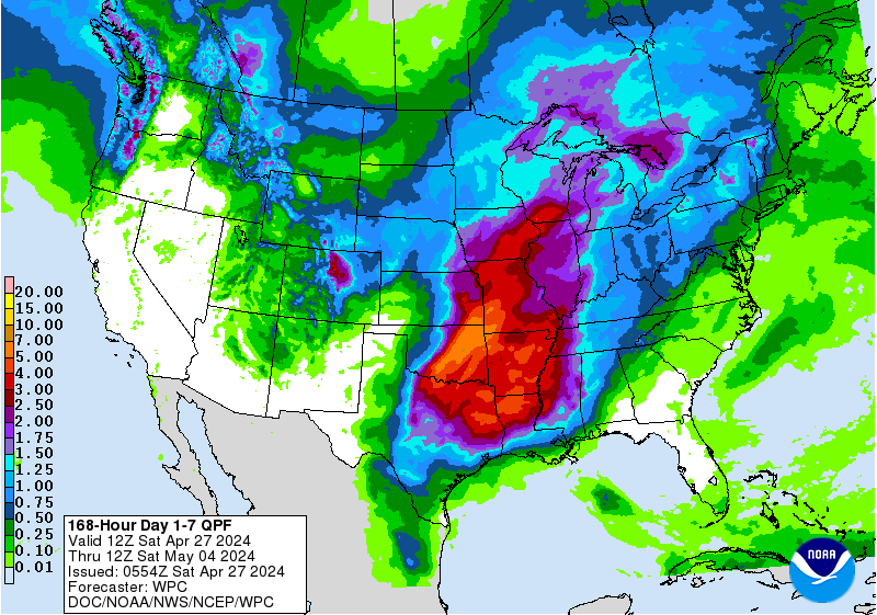
Rains the next 7 days .........dumping on much of the country............... rain makes grain still but when are the rains dialed in and we trade the week 2 dome? Soon?
Day 1:
http://www.wpc.ncep.noaa.gov/qpf/fill_94qwbg.gif?1526306199054
Day 2:
http://www.wpc.ncep.noaa.gov/qpf/fill_98qwbg.gif?1528293750112
Day 3:
http://www.wpc.ncep.noaa.gov/qpf/fill_99qwbg.gif?1528293842764
Days 4-5:
http://www.wpc.ncep.noaa.gov/qpf/95ep48iwbg_fill.gif?1526306162
Days 6-7:
http://www.wpc.ncep.noaa.gov/qpf/97ep48iwbg_fill.gif?1526306162
Total accumulation
http://www.wpc.ncep.noaa.gov/qpf/p168i.gif?1526397762
Some areas for excessive rains.......farther east and south than before.
Excessive rain threat too
Current Day 1 Forecast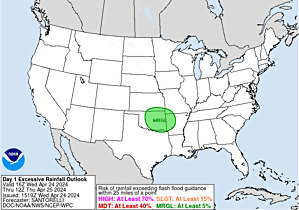 Valid 15Z 06/11/18 - 12Z 06/12/18 |
Day 1 Threat Area in Text Format
| Day 2 and Day 3 Forecasts |
Current Day 2 Forecast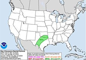 Valid 12Z 06/12/18 - 12Z 06/13/18 |
Day 2 Threat Area in Text Format
Current Day 3 Forecast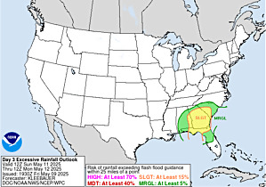 Valid 12Z 06/13/18 - 12Z 06/14/18 |
Severe Storm Risk for the next few days, not very high:
Current Day 1 Outlook | Forecaster: Hart/Kerr Issued: 18/1240Z Valid: 18/1300Z - 19/1200Z Forecast Risk of Severe Storms: Slight Risk |
Current Day 2 Outlook | Forecaster: Bunting Issued: 18/0600Z Valid: 19/1200Z - 20/1200Z Forecast Risk of Severe Storms: Marginal Risk |
Current Day 3 Outlook | Forecaster: Bunting Issued: 18/0731Z Valid: 20/1200Z - 21/1200Z Forecast Risk of Severe Storms: Marginal Risk |
Current Day 4-8 Outlook | Forecaster: Bunting Issued: 18/0856Z Valid: 21/1200Z - 25/1200Z Note: A severe weather area depicted in the Day 4-8 period indicates a 15%, 30% or higher probability for severe thunderstorms (e.g. a 15%, 30% chance that a severe thunderstorm will occur within 25 miles of any point). |
Temperatures cooled off now in the Upper Midwest and cooling spreads south:


Highs days 3-7 shows pleasant temps, then warming back up.


Heat really builds with week 2 dome.
Last 6Z GFS:
gfs_namer_312_200_wnd_ht | gfs_namer_312_500_vort_ht |
gfs_namer_312_1000_500_thick | gfs_namer_312_850_temp_ht |
Late Week 2 heat anomalies
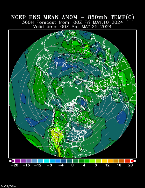
CFS week 3 the heat is on. Week 4 much cooler but drying out.

Turns drier in some places

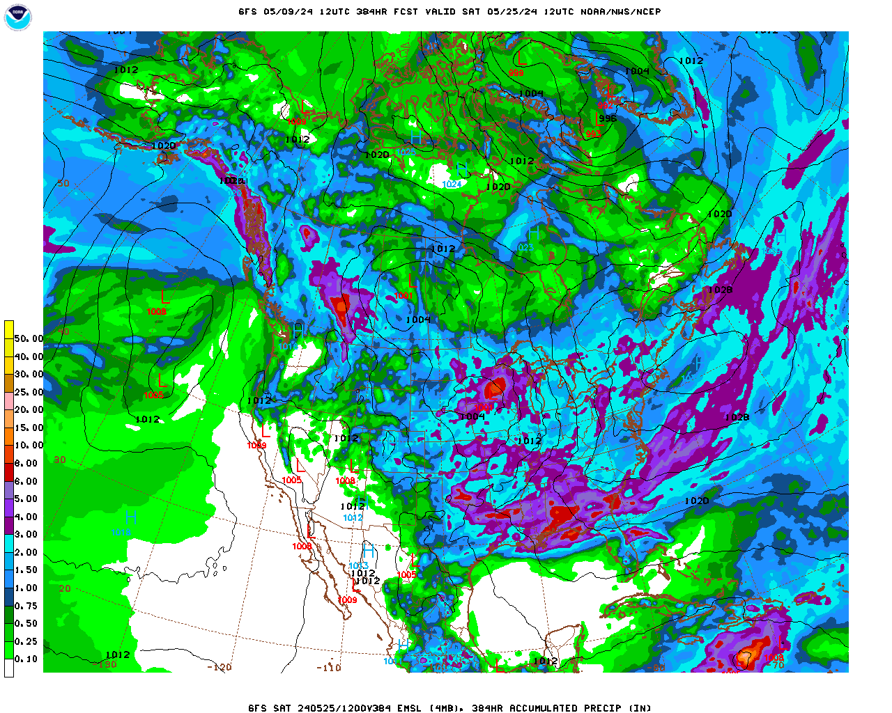
2 week rains from last GFS:
Early week 2 heat ridge on updated 12z GFS:
gfs_namer_264_200_wnd_ht | gfs_namer_264_500_vort_ht |
gfs_namer_264_1000_500_thick | gfs_namer_264_850_temp_ht |
Latest drought monitor:

Previous Drought Monitor below:

Not much change. Look at the precip that has fallen and what is coming, the lower half of the US is still coming up a little dry.
I know that we are supposed to get some rain in the next couple days here in Ohio and hopefully it comes through. It's hot and my grass is browning. BUT, the corn is growing fast.
https://mrcc.illinois.edu/cliwatch/drought/drought.jsp
Shorter term moisture that looks at rain totals over the last 4 weeks. The previous map is below. Much more blue showing up in IA/IL/IN, with a lot of rain since June 17th:


https://www.star.nesdis.noaa.gov/smcd/emb/vci/VH/vh_browseByCountry.php
Despite the previous maps showing alot of brown and looking very dry:
United States, Greenness (No Noise NDVI) | |
This map is very misleading and not that good at telling the real story. Look at the same map for the same week during the severe drought of 2012 below(looks waaaay too green)
Greeness (No Noise NDVI) | |
Hopefully you get that rain jim!
The drought monitor, being long term usually does not show alot of change from week to week
Extreme weather :
