Week 1 rains getting "skinnier" Big dry pocket MO/IL/IN.
Rains his month have been OVER forecast by every model, for everytime frame and by every forecaster.
Near the end of this period, things are drying out........leading to a drier period in week 2. This could be setting the stage for bullish weather in June:
http://www.wpc.ncep.noaa.gov/qpf/fill_94qwbg.gif?1526306199054
http://www.wpc.ncep.noaa.gov/qpf/day2.shtml
http://www.wpc.ncep.noaa.gov/qpf/day3.shtml
http://www.wpc.ncep.noaa.gov/qpf/95ep48iwbg_fill.gif?1526306162
http://www.wpc.ncep.noaa.gov/qpf/97ep48iwbg_fill.gif?1526306162
Total accumulation
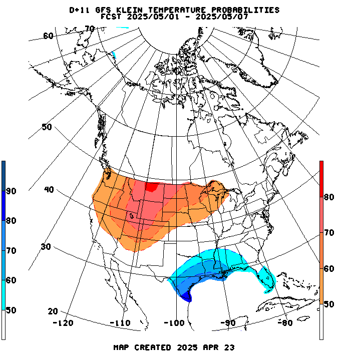
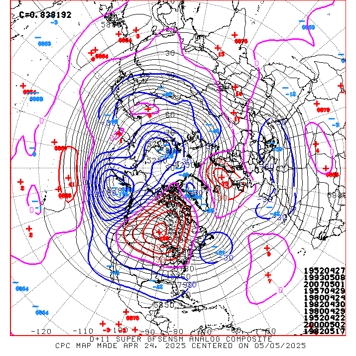
This afternoon's 6-10 day and 8-14 day should be very warm and mostly dry again(this is why the corn/beans are so strong today.
This is also why natural gas is sharply higher.
Here is one of the NWS products that they use in assessing that forecast. The warm/reds are vastly understated below:


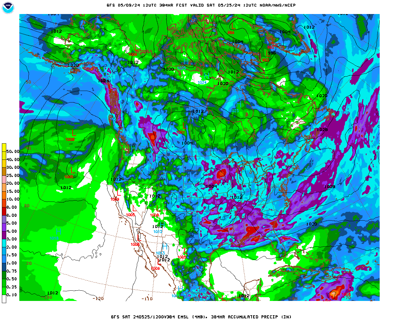
The last map is total precip. Drying out with each run. The models have been MUCH too wet for the last month and this one is too, though it now depicts very little rain across parts of the Eastern/Central belt the next 2 weeks.
Weather is bullish here.
 | gfs_namer_348_500_vort_ht |
gfs_namer_348_1000_500_thick | gfs_namer_348_850_temp_ht |

Canadian model has a bit more rains with the early week 2 system but it still looks like dryness is going to increase in parts of the belt over the next 2 weeks.
