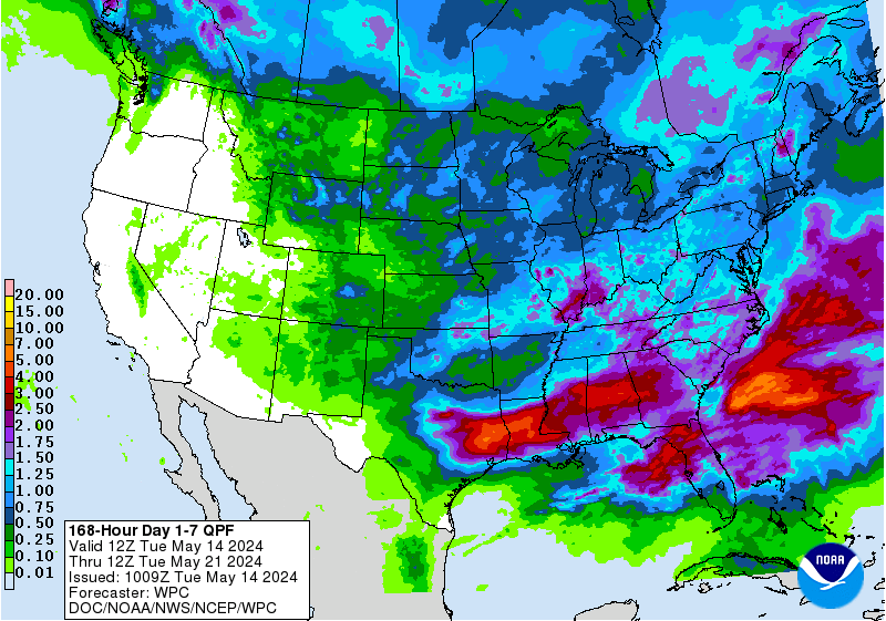
Next 7 days of rain:
http://www.wpc.ncep.noaa.gov/qpf/fill_94qwbg.gif?1526306199054
http://www.wpc.ncep.noaa.gov/qpf/day2.shtml
http://www.wpc.ncep.noaa.gov/qpf/day3.shtml
http://www.wpc.ncep.noaa.gov/qpf/95ep48iwbg_fill.gif?1526306162
http://www.wpc.ncep.noaa.gov/qpf/97ep48iwbg_fill.gif?1526306162
Total accumulation
http://www.wpc.ncep.noaa.gov/qpf/97ep48iwbg_fill.gif?1526306162
Metmike,any chance you could e-mail this evening? there is a fourmite that wants to return,for some reason he is blocked.Tried to contact Julie several times!
Thanks
Mikempt
Mike, the only person blocked was mojo and I unblocked mojo over the weekend.
Is that who you are talking about?
Severe storm risk the next few days:
http://www.spc.noaa.gov/products/outlook/
| Current Convective Outlooks | |
|---|---|
| Today's Convective Outlooks | |
| Updated: Mon May 14 13:05:24 UTC 2018 (1h 26m ago) | |
Current Day 1 Outlook | Forecaster: Edwards/Mosier Issued: 14/1301Z Valid: 14/1300Z - 15/1200Z Forecast Risk of Severe Storms: Enhanced Risk |
Current Day 2 Outlook | Forecaster: Kerr Issued: 14/0450Z Valid: 15/1200Z - 16/1200Z Forecast Risk of Severe Storms: Slight Risk |
Current Day 3 Outlook | Forecaster: Kerr Issued: 14/0720Z Valid: 16/1200Z - 17/1200Z |
Extended guidance turning MUCH DRIER!
With a heat ridge building out West.
Week 2 precip:
Week 2 Temps:
Weeks 3 and 4............very warm to hot, mainly out West where a heat ridge will
be building in week 2.

Week 3 & 4 Precipitation....drying out?
JPJT contacted me via private e-mail,hasn't been able to post since new web site went live
Mike,
If JPJT is his user name, then he never registered. He must be doing something wrong.
He can contact the moderator or me at meteormike@msn.com
Am not sure what to tell him other than to try to register again. Nobody is banned/suspended right now.
JP, John Phares is signed up but I think that he posted already.
New GFS is pretty dry for the real wet area of S.MN, N.IA thru the next 7 days
Total rains for the next week below on just out 12z GFS
Forecast Hour: 174
Image URL: http://mag.ncep.noaa.gov/data/gfs/12/namer/precip_ptot/gfs_namer_174_precip_ptot.gif

Canadian model has other ideas..........is wetter!
 Images created on Mon 14 May at 16:56Z
© Christian Pagé & Jean-François Caron 1995-2018
The 12z GFS is not overly bullish on the heat ridge going out in week 2 for the upper Midwest but does have heat from the S.Plains east northeastward towards the Ohio Valley. The Southern Midwest would be in the 90's with this scenario.
gfs_namer_384_200_wnd_ht | gfs_namer_384_500_vort_ht |
gfs_namer_384_1000_500_thick | gfs_namer_384_850_temp_ht |
Thanks,
I will forward.
Mike
1 week rains are not quite as much as before in MO/IL/IN.
http://www.wpc.ncep.noaa.gov/qpf/p168i.gif?1526329923
The heat ridge is going to be around for awhile.
This is what the European model thinks in 2 weeks. That thing in the middle is a cutoff low that gets trapped, when it thinks the main jet stream takes off northward into Canada. Could be a subtropical type jet feeding in at that time.
Probably it won't work out just like that but temps will be much above normal thru most of the country, with upper level ridging dominating very far north.
Extended guidance, at the bottom as expected was very warm everywhere. This is potentially very bullish if we shut down the rains.
Extended NWS guidance.........very warm everywhere but still wettish.
If the rains shut down or the heat ridge strengthens, this becomes very bullish and the lows are in for the grains........also for NG.
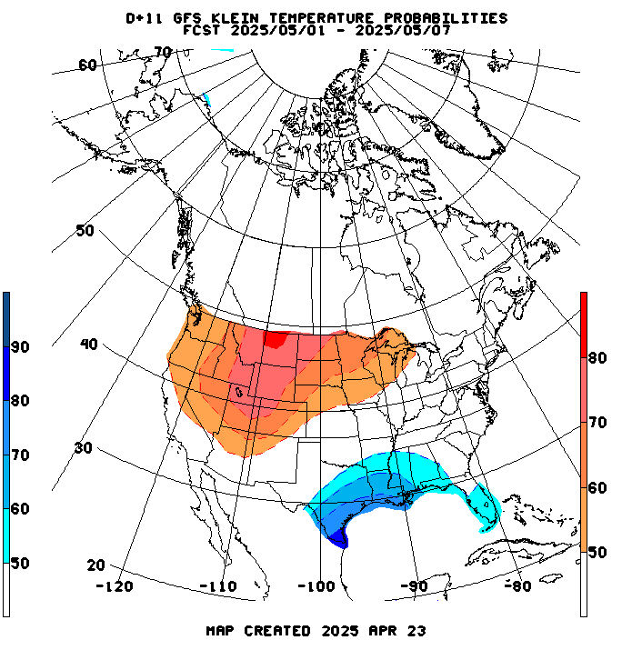
Temperature Probability |
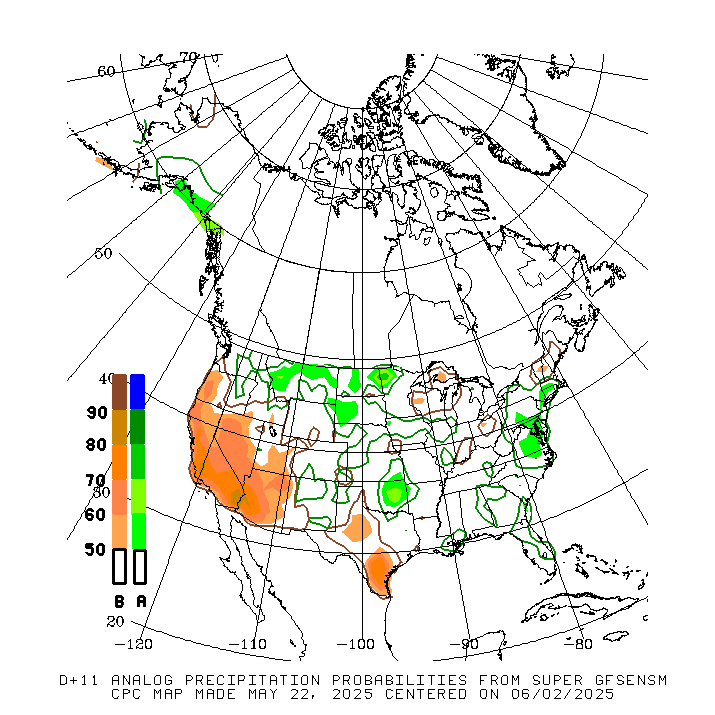
Precipitation Probability |
As mentioned earlier:
"If the rains shut down or the heat ridge strengthens, this becomes very bullish and the lows are in for the grains........also for NG."
Now we just need models overnight to continue to strengthen the heat ridge and decrease extended forecast rains.
The week 2 pattern right now is pretty uncertain..........even for a week 2 pattern. If models weaken the heat ridge, then just the opposite effect is likely.............everything goes down and the highs will be in without it coming back with gusto.
